【Trekking & View】 Mount Ontake, Mount Hinode, Mount Aso, Mount Konpira (Tokyo pref.)

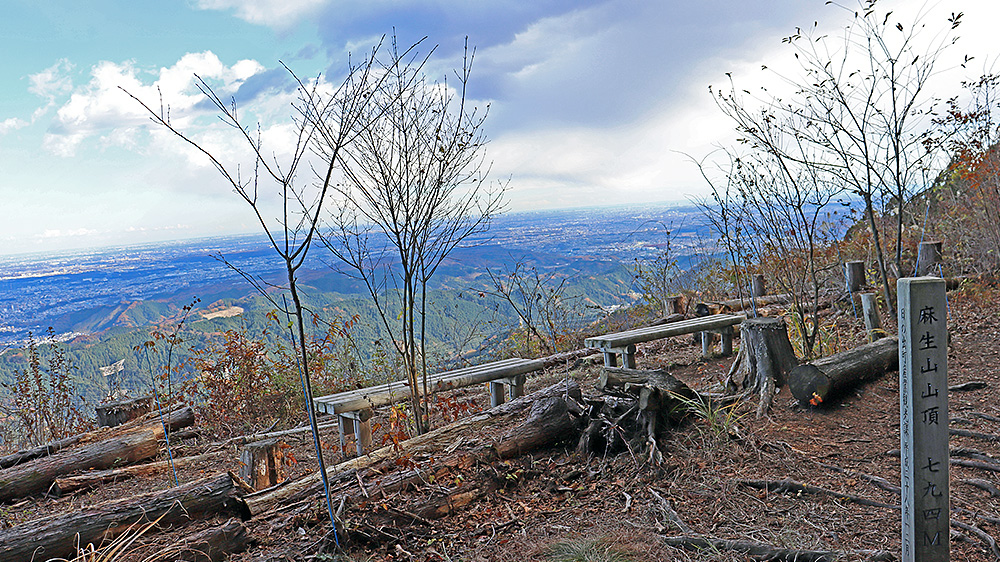
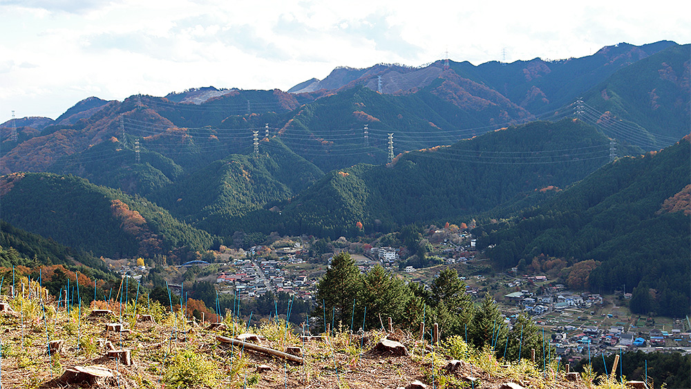
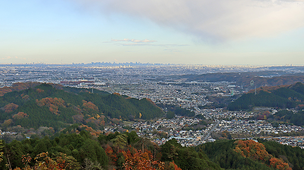
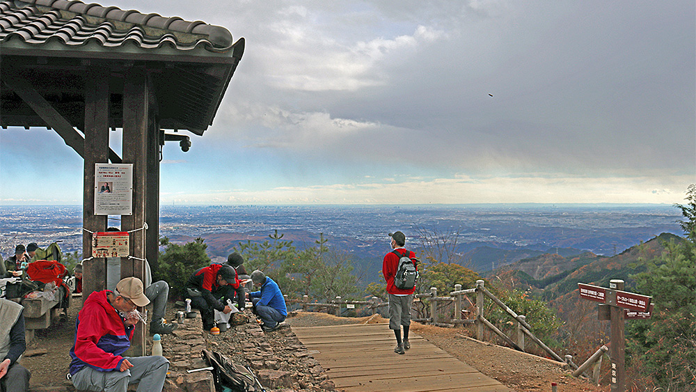
I hiked Mt. Hinode, Mt. Aso, and Mt. Konpira in northwestern Tokyo.
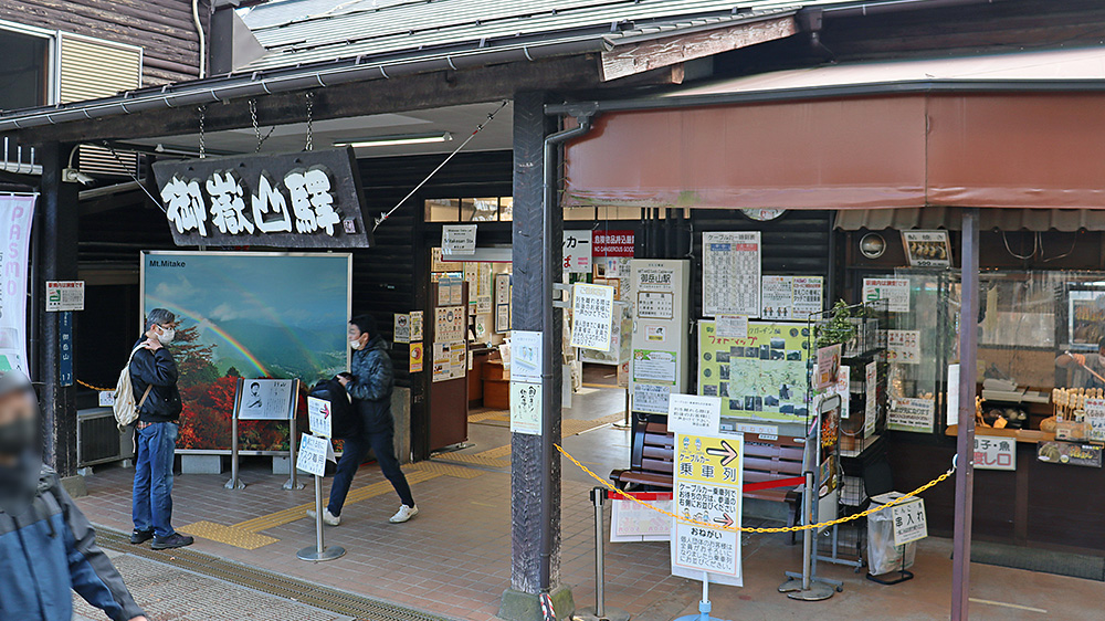
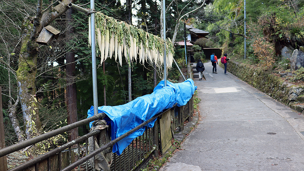
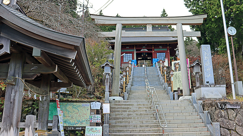
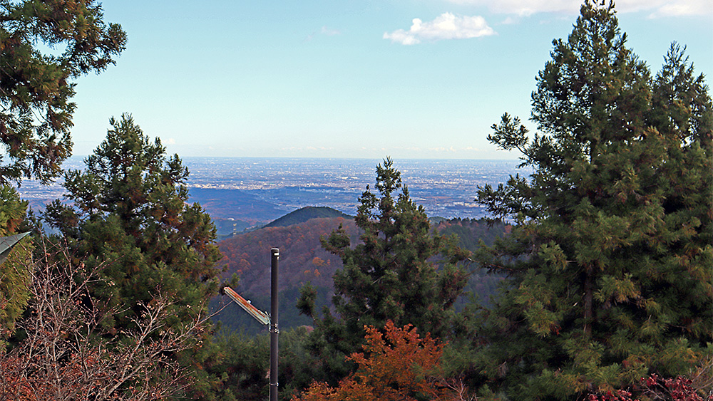
This route is easy to walk because, once you take the cable car up, it's basically downhill (although there are intermittent, somewhat rough climbs afterwards). I was also happy that there were places with great views along the way! (November 27, 2021)
(Nihedon @ KesaranPasaran Lab)

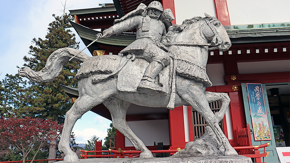
He was a warrior of "Unparalleled Strength" and "Martial Prowess", and was known as the "Model of Bando warriors" due to his upright and honest character.
There is also a legend that "he carried his horse down a steep cliff" in the Battle of Ichinotani.
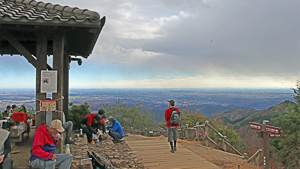
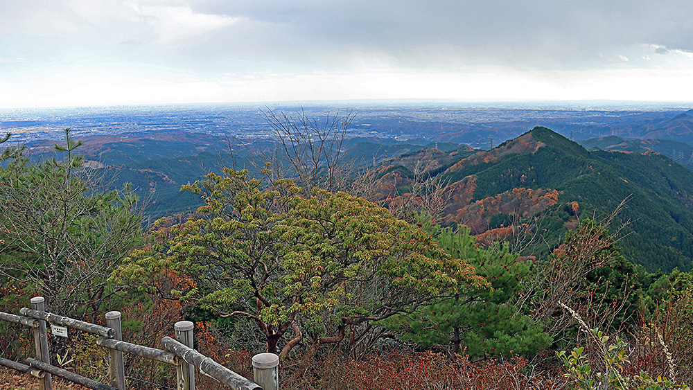
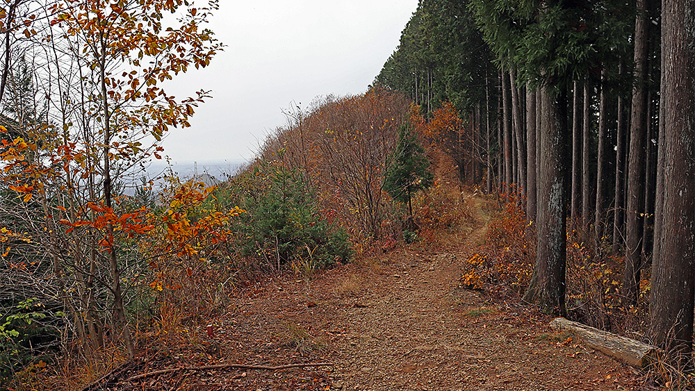
To get to Asoyama, it seems the most common route is to take the route from Hinodeyama to Konpirayama and then return to Asoyama via a "round trip."
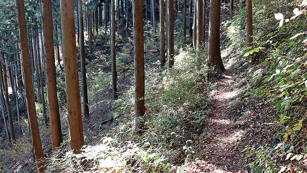
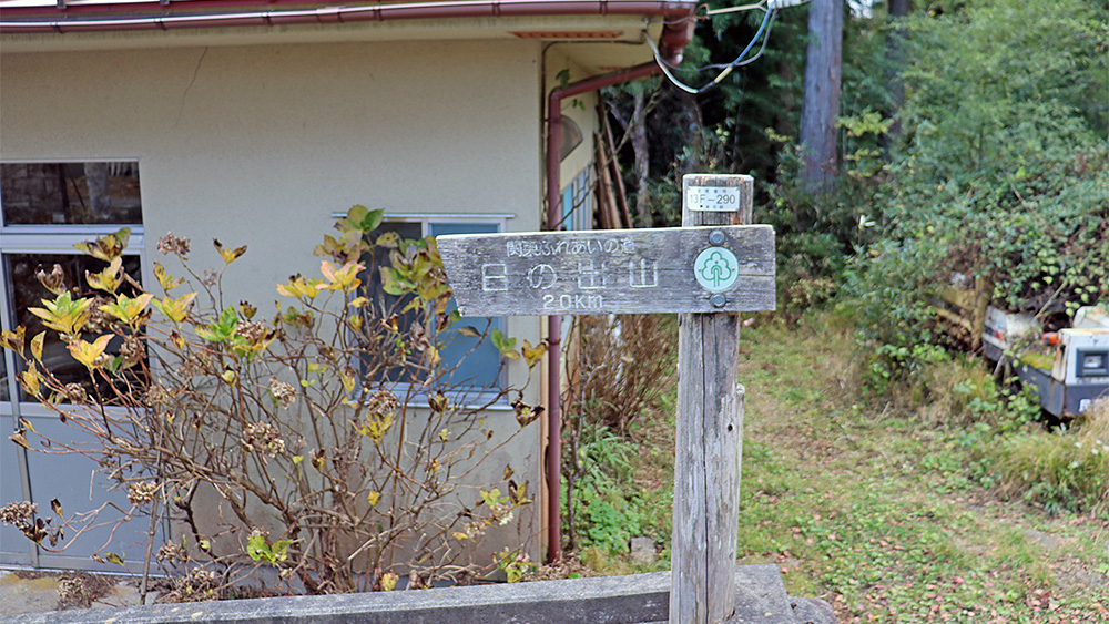
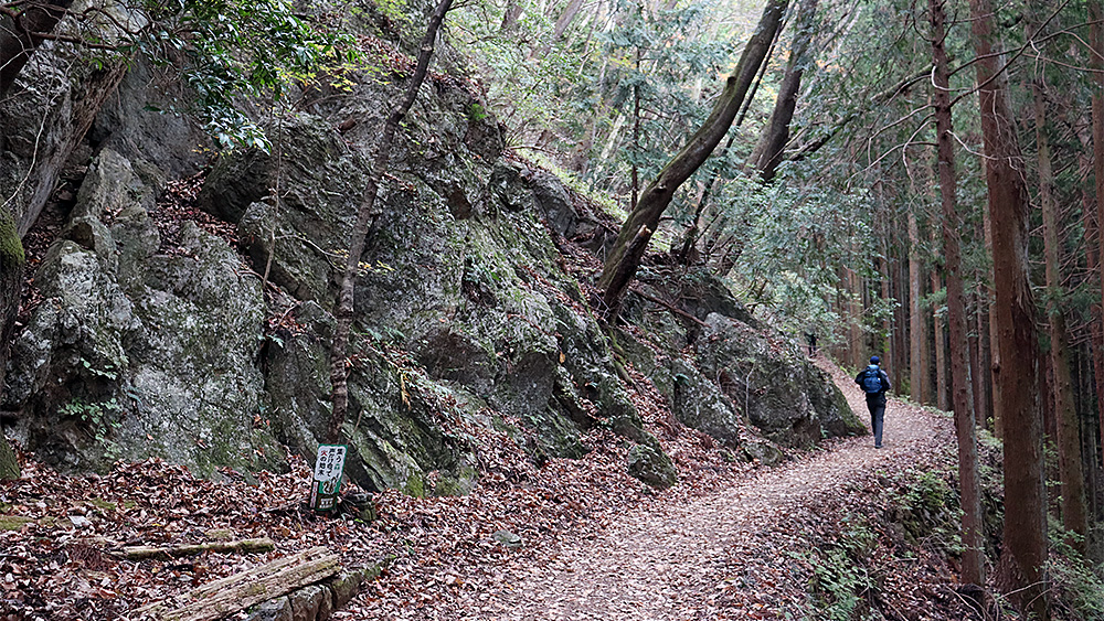
I hiked Hinodeyama → Asoyama → Konpirayama in a single continuous loop, but this route is quite confusing, and you might get lost without a GPS tool like YAMAP.
There are signs, but you have to descend a cliff that doesn't really look like a path, and then make a sharp turn. The signs are difficult to see until after you've made the sharp turn, so I think there's a high chance you might continue descending without turning.
Therefore, this is the only "point to be careful of" on this route.